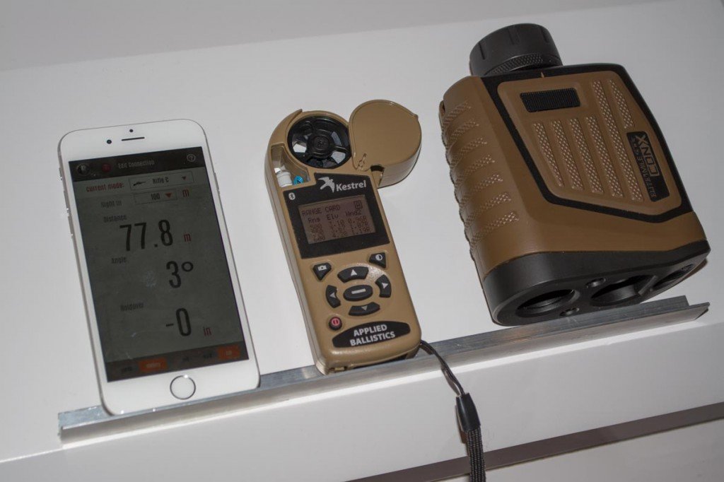
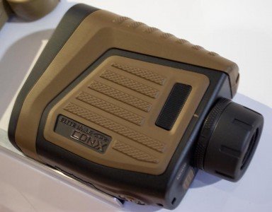
In the really cool use of technology category is a brand new product from Bushnell. Rangefinders have been out for a while now. To me, they’re somewhat miraculous. Somehow a laser beam manages to reach out, bounce off a tree, rock or critter, and come back so range can be calculated. Nifty.
Bushnell has taken the process to a whole new level with their new Elite 1-Mile ARC CONX rangefinder.
With most rifles, shooting at any distance over a couple hundred yards requires correction for elevation holdover and windage. That pesky gravity law causes bullets to fall towards earth as they travel, so you have to aim higher as range increases. How high depends on a multitude of factors like range, wind, latitude, declination and whether that obelisk from 2001: A Space Odyssey is still transmitting.
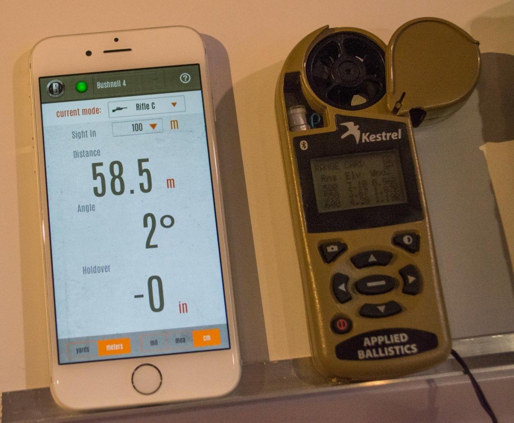
Traditional rangefinders do exactly what their name implies – tell you how far away an object is from your position. You have to do the math to determine the amount of bullet drop for your specific rifle, cartridge, and projectile type. The new Bushnell Elite ARC CONX does all that for you. Using a Bluetooth-like wireless connection, the ARC CONX communicates with a free smartphone app to send distance and declination information. The app allows you to choose your cartridge and projectile information, for example, a .30-06 with 150 grain hollow point boat tail projectile. When the app receives range info, it calculates and displays exact holdover information for that specific range. Instantaneously, you have the information needed to make the shot clearly visible on your smartphone screen.
But wait, there’s more. So far, we’ve only talked about elevation adjustment based on distance. For longer range shots, you also need to consider things like wind speed, wind direction, altitude, humidity, heat index, temperature, and pressure. Wow, that’s a lot of info to process! Bushnell has partnered with the environment metering folks at Kestrel to integrate the Kestrel into the ARC CONX configuration. So, the rangefinder provides basic info like range and declination while the Kestrel provides environmental data to the smartphone app. The idea of all this data integration is to provide the maximum amount of information available to the ballistics application to enable a first shot hit.
While a single shooter can make use of this system, Bushnell also sees application for shooter / spotter scenarios. Whatever the purpose – tactical, law enforcement, hunting, or recreation, it’s a beautiful scenario for a spotter to handle the rangefinder and smartphone and call out windage and elevation adjustments to the shooter.
This is brand new stuff and Bushnell is producing units as we speak. You should see the rangefinder, the smartphone app and compatible Kestrel meters early this summer.


Why bother just buy gunwerks gs7 range finder it does most of this with just one unit. Actually both built by same company.
One price the g7 is more money two and his is HUGE the conx will do MIL/MILRAD the g7 is moa only major fail.
Can anyone answer is this unit gives measurement to the 1/4 MOA or just round up to to the closest (round up or down)?
thanks.
The CONX gives 0.1 MOA display readout.
This is decent gear and puts you in the ballpark, but if you want to get serious about first shot hits out around the thousand meter mark you will need a spotter with a highly developed ability to read wind and other atmospherics at different distances between you and your target. In a spotter/shooter team the shooter is just the mechanic- the real talent is behind the spotter’s scope.
Anyone know if this will feed in via Bluetooth into the Shooter or Applied Ballistics apps?
You don’t really need it to. Applied Ballistics, as an app will pair your smartphone with the Kestrel itself, or if your Kestrel has AB already on it you don’t have to use your phone. After you get the range from your Bushnell rangefinder or whichever one you have, you can plug that in and it does the rest automatically.
The winds, temp and etc. at the shooter’s pos are valuable but the environmentals down range – especially the variations enroute – can be just as important. I don’t know for a fact but I believe that the weather guessing folks have lasers that they fire vertically into the sky that measure climatic variations in that particular testing column. If that is true, it would be outstanding if the laser that the rangefinder fires could measure those environmental variations in the bullet path corridor. Wow ain’t technology amazing?